The Role of Electrical Resistivity in Construction Projects

For centuries, the only way to study and assess subsurface conditions was through the use of boreholes.
Engineers and environmental consultants commonly use boreholes as part of a geotechnical investigation or environmental site assessment. They can be used to collect soil, water, and rock core samples, to advance sampling equipment, or to install monitoring wells.
Samples collected from boreholes are tested in laboratories to determine the physical properties of the sample, or to assess levels of chemical constituents or contaminants.
But there are disadvantages to using boreholes for sampling purposes. Most significantly, there is no way of knowing what is between the boreholes, which can become an issue in the construction of foundations. The geophysical technologies can substantially reduce the number of boreholes required, but it can’t wholly replace borings. We always recommend at least a boring or two for confirmation.
Environmental consultants can use state-of-the-art, non-invasive geophysical techniques to expose unknown subsurface conditions. The information gained from these innovative testing techniques can result in significant scheduling and cost-saving impacts on construction projects.
Geophysical Testing Is Non-invasive and Can Result in Significant Cost Savings
The use of geophysical testing allows engineers and environmental consultants to see the bigger picture of a construction project, and to make more informed decisions that can avoid costly scheduling delays and result in significant cost savings.
Geophysical testing is non-invasive and can be used to analyze terrain that large equipment is unable to reach. It can reduce the number of change orders and can help narrow a project’s scope of work.
Before using geophysical testing on a construction project, it is essential to understand the types of geophysical testing that are available and the benefits and limitations of each.
Types of Geophysical Testing
CTL Engineering commonly employs the following forms of geophysical testing:
- Seismic Refraction (ReMi)
- Ground Penetrating Radar (GPR)
- Electrical Resistivity (ER)
- Gravity
- Electro-magnetics
- Magnetics
- Reflection and Refraction Seismic Methods
The Refraction Microtremor (ReMi) method uses ambient noise and surface waves to generate a detailed vertical sheer wave velocity profile. This method can detect thin layers and velocity inversions are highly reliable and can be used to measure for earthquake design ground motion determinations. Because ReMi relies on ambient noise, it is ideal for use in urban environments and is useful for determining stratigraphic delineation in complex geologic settings.
Ground-penetrating radar (GPR) uses a radar pulse to generate an image of the subsurface. It works by sending a small pulse of energy into the ground and recording the strength and time required for the signal to return. However, GRP can be limited by the electrical conductivity of the ground, the transmitter center frequency, and radiated power.
Electrical resistivity imaging (ERI) uses cylindrically wrapped and insulated cables with electrodes that connect to stainless steel stakes, which are inserted into the ground.
ERI measures the electrical resistivity of earth materials along a single profile or a series of profiles. Because different materials conduct electricity differently, the electrical resistivity of the material will vary based on variables such as porosity, saturation, moisture content, and water chemistry.
ERI can be used to create an image of a specific portion of the Earth’s subsurface using automated geophysical instruments that gather thousands of resistivity measurements via a cable and multiple electrodes. ERI is particularly useful in assessing foundation conditions.
Using Electrical Resistivity Imaging to Test Subsurface Conditions
Before starting a construction project, it is essential to know the subsurface conditions of the site. An environmental site assessment, which evaluates the threat of dangerous and expensive pollutant cleanups, is a good first step, but it does not analyze subsurface conditions.
Electrical resistivity can be used to test for the presence of underground voids such as old basements or embedded pipes that can cause safety and technological problems during construction.
It can also be used to test the stability of the soil on the construction site to determine whether it is suitable to bear the weight loads produced by the new construction, whether it is a roadway or a high-rise building.
Builders must consider the soil content of a site because building materials react differently when placed on different types of soil.
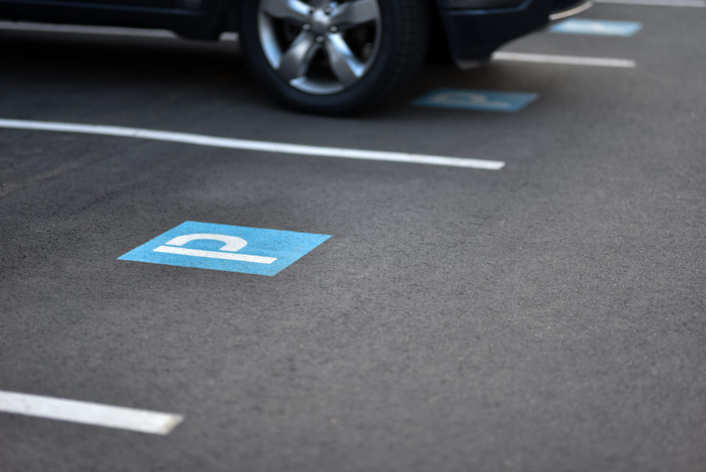
CTL Engineering Used Electrical Resistivity Imaging to Identify the Cause of Parking Lot Damage
CTL Engineering can use ERI to perform Karst topography mapping services, bedrock characterization assessments, groundwater explorations, lithological mapping, mineral exploration, foundation integrity studies, contaminant plume detection, and time-lapse monitoring.
CTL Engineering was recently hired to investigate visual evidence of pier presence above the frost line in a parking lot, which could have resulted in damage caused by frost heave.
CTL conducted a 3D survey to investigate existing pier foundations under the parking lot. The depth of the pier foundations was unknown and could be subject to frost heave that would result in parking lot damage.
The 3D test revealed that the piers were below the frost line, which meant that frost heave was not the cause of the parking lot damage. The test allowed our client to make an informed decision about how to repair the parking lot, which ultimately saved them time and valuable resources.
If the piers had been above the frost line and remained untreated, the piers could have heaved upward when the soil froze, lifting the parking lot to the point of fracture.
Electrical Resistivity Imaging Saves Thousands of Dollars in Construction Redesign
In another case, contractors found unexpected deep crevasses in rock during the first phase of a construction project that resulted in an additional $275,000 in construction costs. The condition could not be left untreated because the construction plan required bedrock to construct the foundation.
The foundation had to be redesigned for part of the structure that was already under construction since the bedrock was not at the anticipated depth. The redesign resulted in a significant delay and financial change order.
CTL used ERI and ReMi testing to reveal that the same condition also existed in another part of the building footprint that was not yet under construction. If the condition had not been identified and addressed, it would have resulted in further delays, change orders, and financial costs.
Because of CTL Engineering’s ERI and ReMi testing, the client was able to limit the number of change orders and schedule delays by redesigning the foundation for the second phase of construction.
CTL Engineering Uses Electrical Resistivity Imaging to Help Clients Make Informed Decisions and Save Money
CTL Engineering uses state-of-the-art, non-invasive geophysical testing techniques to expose unknown subsurface conditions. The results of these tests allow our clients to make informed decisions about how to undertake repairs or new construction and can avoid costly delays, change orders, and other financial costs.
We have a knowledgeable staff of engineers and environmental consultants available to provide a broad range of testing services for our clients.